Lower Dolpo is the part of Dolpo south of the Kang La and the main Himalayan crest — still high, still Tibetan, still classified as restricted, but at a permit cost of USD 20 per week rather than the USD 500 for ten days that Upper Dolpo commands. For trekkers who want genuine remoteness without the premium, it is the best-value trek in Nepal.
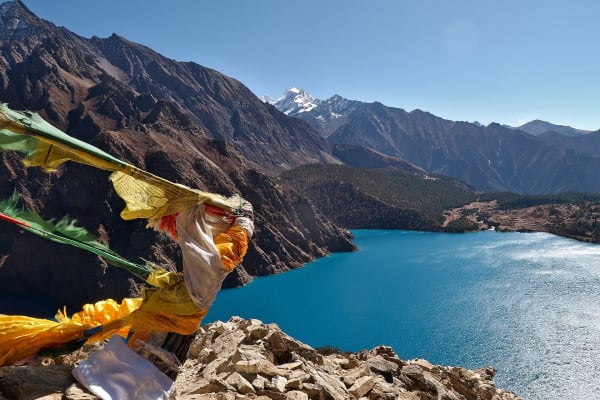
The circuit links Phoksundo Lake at 3,611 m with Dho Tarap at around 4,080 m — one of the highest permanently inhabited villages in the world — over two passes above 4,400 m, through country where the Bon religion survives and yak caravans still cross to Tibet.
The Trek at a Glance
| Duration | 17 days from Kathmandu |
| Highest point | About 4,465 m on the Numa La or Baga La |
| Key places | Phoksundo Lake 3,611 m, Dho Tarap about 4,080 m |
| Difficulty | Moderate to challenging — remote, two passes, partly camping |
| Access | Flight Kathmandu–Nepalgunj–Juphal |
| Permits | Lower Dolpo restricted permit (USD 20 per week), Shey Phoksundo National Park |
| Best seasons | May to October, including the monsoon |
| Accommodation | Basic lodges, homestays and camping |
We run it as a 17-day Lower Dolpo trek. The shorter Shey Phoksundo Lake trek covers the lake alone in 14 days.
The Route
Juphal to Phoksundo Lake
Flights to Nepalgunj and Juphal, then three to four days up the Suli Gad gorge through Chhepka and Jharana to the cliff path and Ringmo on the lake shore, with the Bon monastery of Tshowa above it. Our Phoksundo guide covers this stretch in detail.
Over the passes to Dho Tarap
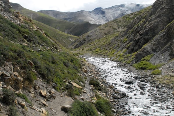
East from the lake over the Baga La and Numa La, both around 4,400 to 4,465 m, through high grazing country with no villages for several days — this is the camping section on most itineraries. The passes give the trek's best views: the Dhaulagiri range to the south, Kanjirowa to the north, and the bare ochre and grey geology that defines Dolpo.
Dho Tarap
Dho Tarap at around 4,080 m is a substantial village in a broad high valley, with both Buddhist and Bon monasteries and a population that farms barley at an altitude where almost nothing grows. It is one of the highest year-round settlements on earth, and the valley around it holds chortens, mani walls and winter pasture. Spend a day here.
Down the Tarap Khola to Dunai
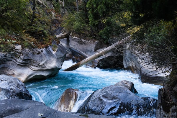
South-west down the Tarap Khola gorge — a narrow, spectacular canyon section with the trail cut into the rock — to Tarakot and back to Dunai and Juphal for the flight out.
What Makes It Hard
- Remoteness. Two flights in, then days from any road. An evacuation means a helicopter, weather permitting, and insurance with that cover is essential.
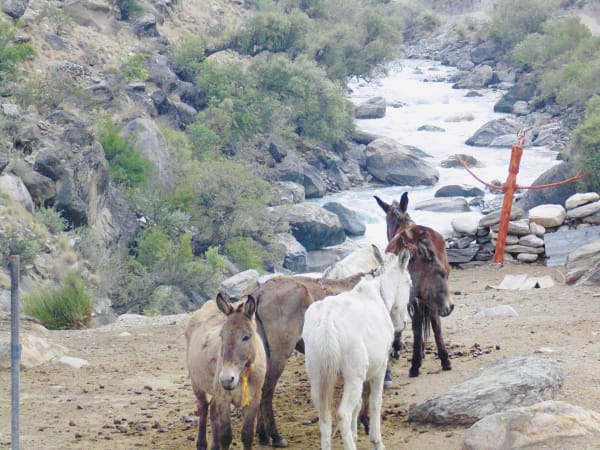
- Camping sections. Between the lake and Dho Tarap there are no lodges on most routes, so a crew carries tents, food and kit. Nights are cold at 4,000 m plus.
- Two passes above 4,400 m on consecutive or near-consecutive days, with sustained altitude between them.
- Flight uncertainty. Nepalgunj and Juphal are both weather-dependent with limited frequency. Two or three spare days are not optional.
- Limited supplies. Villages have little to spare, so our crew carries most of the food.
- Long days. Seven to eight hours is normal on the pass and gorge sections.
What it does not have is technical ground. There is no rope work and no glacier travel, and the altitude profile is gradual. It is a question of commitment rather than skill.
Why Go in the Monsoon
Dolpo sits behind the Dhaulagiri range in the rain shadow, so the season here runs from May to October — including the months when most of Nepal is unwalkable.
- July and August are dry, warm, and the high pastures are in flower, including blue poppies above 4,000 m.
- Barley is standing around Dho Tarap, which is a remarkable sight at that altitude.
- Nobody is there. Even by Dolpo standards, the summer sees almost no trekkers.
- September and October give the clearest air and the best pass views, and are the most reliable for flights.
The catch is the same as everywhere in the rain shadow: getting there. The Nepalgunj and Juphal flights depend on weather over the Terai and the southern hills, not over Dolpo, so monsoon itineraries need genuine slack. Our monsoon guide covers the whole picture.
Lower or Upper Dolpo?
| Lower Dolpo | Upper Dolpo | |
|---|---|---|
| Days | 17 | 26 |
| Permit | USD 20 per week | USD 500 for 10 days, then USD 50 per day |
| Highest point | About 4,465 m | About 5,360 m |
| Key sights | Phoksundo Lake, Dho Tarap, two passes | Shey Gompa, Crystal Mountain, Saldang, Nangdala |
| Accommodation | Lodges, homestays and some camping | Mostly camping |
| Difficulty | Moderate to challenging | Difficult |
| Who it suits | Most trekkers wanting remote Dolpo | Experienced trekkers with four weeks |
Unless the Shey Gompa pilgrimage and the Crystal Mountain are specifically what you want, Lower Dolpo is the better trip for most people: the same landscape and culture, the same sense of remoteness, two thirds of the time, and a permit that costs one twenty-fifth as much.