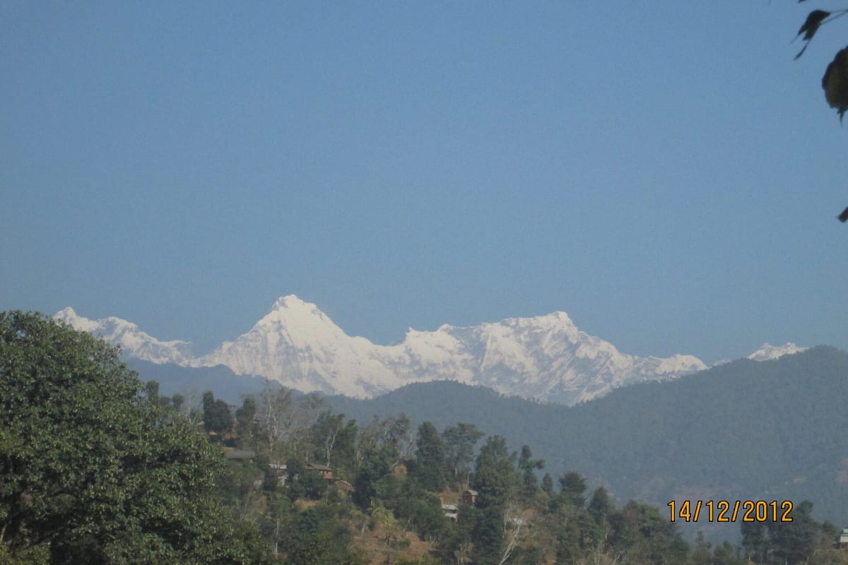
The Ganesh Himal sits directly between Langtang and Manaslu, and almost nobody walks under it. The range is named after the elephant-headed god, it is visible from the rim of the Kathmandu Valley on any clear morning, and the trail that crosses beneath it sees fewer trekkers in a season than Poon Hill sees in a day.
The route follows old trading and grazing paths from Trishuli Bazar over the Singla Pass (4,600 m), traverses high open country to the Pangsang saddle, then drops through the old mining settlement of Somdang to the Tamang village of Gatlang and out at Syabrubesi. There is no permanent lodging for much of it, so this is a supported camping trek — which is exactly why it has stayed empty.

The Trek at a Glance
| Duration | 13 days Kathmandu to Kathmandu |
| Highest point | Singla Pass, 4,600 m |
| Difficulty | Moderate — long days and a big pass, no technical ground |
| Best seasons | April to May, October to November |
| Accommodation | Tents on the high sections, teahouses lower down |
| Access | Road to Trishuli Bazar, out by road from Syabrubesi |
| Permits | Langtang National Park entry permit and trekking registration |
| Price | From USD 850 per person |
We run it as a 13-day trek from Kathmandu. It finishes at Syabrubesi, the same roadhead used by the Langtang Valley trek and the Tamang Heritage trail, so the two combine well if you have the days.
The Route
Trishuli Bazar to Kharani Odar (1,200 m to 2,800 m)
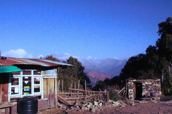
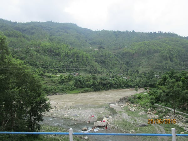
A half-day drive north-west out of the valley — stop at Kakani on a clear morning for the line of Ganesh, Langtang and Manaslu along the horizon — then three days climbing a ridge system north. The first day is as much cultural as scenic: Tamang and Brahmin-Chhetri villages, water mills, irrigation channels, terraces of rice, maize and millet worked entirely by hand, on a working trail rather than a trekking route.
Above 2,000 m the terraces give out and proper forest takes over — oak and rhododendron thick with moss, then increasingly pine. This is good wildlife country precisely because so few people come through: langur in the canopy, pheasants and laughingthrushes, and the Himalayan monal if you are lucky.
The Singla Pass (4,600 m)
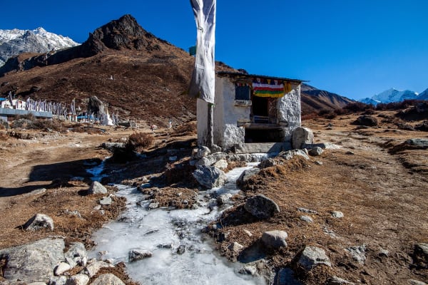
The hardest day of the trek by a wide margin: an 1,800 m ascent from Kharani Odar to the pass. It starts before dawn, climbs steeply through the last rhododendron, breaks out above the treeline around 3,500 m into juniper scrub and grass, and gives out to stone and scree above 4,000 m. The final approach is a slog on loose ground and the pace slows markedly with altitude. Your guide will set a deliberately conservative pace.
The high traverse to Pangsang (4,600 m to 3,800 m)
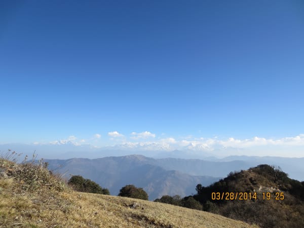
The best sustained mountain views of the trek. The trail follows ridgelines rather than dropping into valleys, so the panorama stays open all day — the Ganesh peaks close and dominant, Manaslu (8,163 m) west and the Langtang range east in clear weather. Blue sheep are sometimes on the slopes. A rest day at the Pangsang saddle sits on the divide between the two ranges and is one of the great viewpoints of the region.
Somdang to Syabrubesi (3,300 m to 1,460 m)
Off the ridges into the Somdang Khola valley, where juniper and stunted rhododendron reappear after days of bare alpine ground. The area was historically mined for zinc and lead, and remnants of the old workings and access tracks are still visible — an unexpected piece of industrial history in an otherwise empty landscape. Then Gatlang, one of the most traditional Tamang villages in the region, and out to the road at Syabrubesi.
How Hard Is It?
Graded moderate, but that grade hides an unusually demanding single day. The Singla Pass climb is 1,800 m of ascent in one push, which is more than almost any day on the Everest or Annapurna trails.
- Six to eight hours on most walking days, and considerably more on the pass day.
- 1,800 m in one ascent to the Singla Pass — the crux of the trek, and the reason an early start is non-negotiable.
- Several nights above 3,500 m with a rest and acclimatisation day at Pangsang built in.
- No lodges, shops or road access across the high section, and no reliable phone signal.
- Rough trail. This is a herders' and traders' route, not a maintained trekking path, and it is loose or overgrown in places.
Weather is the main variable on the traverse — the ridge is exposed and there is no shelter between camps. Our altitude guide is worth reading before a route that gains this much in a day.
Best Time to Go
| Season | Conditions |
|---|---|
| April to May | Rhododendron through the forest belt, generally stable weather on the pass, and warmer nights at the high camps. |
| October to November | The clearest views of Ganesh, Manaslu and Langtang from the traverse. Colder, and an early snowfall can make the Singla Pass hard work. |
| December to March | Not recommended. The Singla Pass holds deep snow and the high camps are severe. |
| June to September | Monsoon — leeches through the forest belt, cloud on the ridge, and nothing to see from the pass. |
Because the route has no escape options across the high section, a spare day either side of the trek is sensible. If weather closes the Singla Pass the group waits rather than crosses.
What It Costs
At USD 850 this is one of the best-value remote treks in Nepal — considerably cheaper than the western routes because the road access at both ends is short and the trek does not need a flight.
| Group size | Price per person |
|---|---|
| 1 trekker | USD 975 |
| 2 to 4 | USD 950 |
| 5 to 7 | USD 925 |
| 8 to 10 | USD 900 |
| 11 to 14 | USD 875 |
| 15 and over | USD 850 |
There is very little to spend money on once you leave Trishuli Bazar. Budget for personal kit, insurance and tips, and carry all your rupees from Kathmandu — there are no ATMs on the route. See our cost guide for the full picture.
What Is Included
- Airport pickup and drop-off in Kathmandu.
- Private transport Kathmandu to Trishuli Bazar and Syabrubesi back to Kathmandu.
- Hotel accommodation in Kathmandu with breakfast.
- Teahouse accommodation where available, and tented accommodation with a full camp and kitchen crew on the high sections.
- Three meals a day throughout the trek.
- Langtang National Park entry permit and trekking registration.
- A licensed English-speaking trekking guide.
- Group trekking map, first aid kit carried by the guide, and all government taxes, permit fees and service charges.
What Is Not Included
- International flights and the Nepal entry visa fee.
- Travel insurance including emergency helicopter evacuation.
- Personal trekking equipment and clothing, including a bag rated for -10 °C or lower.
- Porter services, available at additional cost.
- Lunch and dinner in Kathmandu.
- Snacks, bottled water, hot showers, Wi-Fi, charging and drinks.
- Laundry, phone calls, souvenirs and personal expenses.
- Tips for guides, drivers and support staff.
- Extra accommodation or transport caused by weather or anything else outside the itinerary.
The packing list covers the general kit. Add a warm bag, a proper windproof layer for the ridge traverse, and a power bank — there is no charging between Trishuli Bazar and Gatlang.