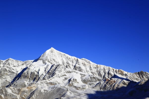
Chulu East (6,584 m) is the highest of the three Chulu summits and the hardest, and it is a considerably more serious proposition than its neighbour to the west.
The route climbs a crevassed glacier to a high camp at 5,530 m and then follows a north-east ridge with sustained snow and ice at 45 to 50 degrees and a corniced crest near the top — graded AD-, and a real step up from a first Himalayan peak.
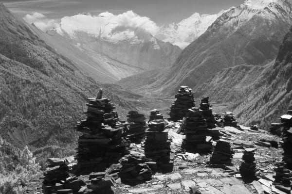
What it shares with Chulu West is the approach, which is one of the best walks in Nepal: the Annapurna Circuit high route through the medieval Tibetan villages of Ghyaru and Ngawal. And it shares the exit, over the Thorong La (5,416 m) to Muktinath. What it does not share is the summit — 165 m higher, about two hours longer, on ground that asks more of you throughout.

The Climb at a Glance
| Summit | 6,584 m |
| Grade | AD- — crevassed glacier, 45–50° north-east ridge, corniced crest |
| Duration | 19 days Kathmandu to Kathmandu |
| Base camp / high camp | 4,900 m / 5,530 m |
| Summit success rate | Around 60 to 70 percent on our departures |
| Best seasons | March to May, September to November |
| Permits | NMA climbing permit, ACAP and TIMS — all included |
| Price | From USD 3,450 per person |
We run it as a 19-day expedition. If this is your first 6,000 m peak, start with Chulu West or Chulu Far East instead.
The Route
The approach (1,860 m to 3,660 m)
Identical to Chulu West: jeep to Dharapani, then Chame, Upper Pisang and the high route past Ghyaru to Ngawal, with an acclimatisation day there. Five days of gradual gain, which is the reason the acclimatisation on this trip works.
Base camp and the skills check (4,900 m)
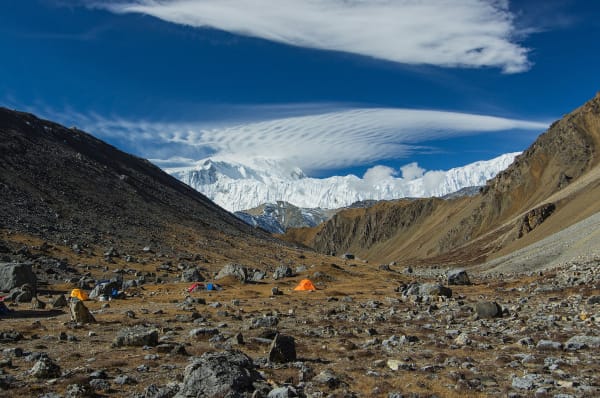
Base camp at around 4,900 m in the valley north of Ngawal. The day there is a training and skills-check day rather than a general introduction — rope-team travel, fixed-line ascent, abseiling and movement on an exposed ridge. On an AD- route your guide needs to see you move before committing to the crest.
The north-east ridge (5,530 m to 6,584 m)
High camp at 5,530 m on the moraine at the edge of the glacier, then a pre-dawn start. The crevassed glacier, then the north-east ridge: sustained 45 to 50 degree snow and ice on fixed line, and near the top a corniced crest taken one at a time with the Sherpas probing the crest ahead.

The exit
Down to Manang, then Yak Kharka, Thorong Phedi and over the Thorong La to Muktinath and Jomsom, with a flight to Pokhara.
Chulu East or Chulu West?
A full grade separates them, and it is worth being honest about which you want.
| Chulu West | Chulu East | |
|---|---|---|
| Summit | 6,419 m | 6,584 m |
| Grade | PD+ | AD- |
| The climbing | Glacier and a 40–45° slope to a broad ridge | Sustained 45–50° ridge with a corniced crest |
| Summit day | Shorter | About two hours longer |
| Success rate | 80–85% | 60–70% |
| From | USD 3,150 | USD 3,450 |
The commonest reason for turning back on East is the cornice, which in a heavy spring can be impassable. The two can also be combined — West as the warm-up, East off the same acclimatisation — which is a strong trip for a climber who wants two summits.
The Insurance Trap
Check your policy's altitude ceiling before you book. A great many mountaineering policies stop at exactly 6,500 m, which covers the whole of this route except the last 84 metres.
That is not a technicality — it is the part of the mountain where you are most likely to need a helicopter. You need cover valid to at least 6,600 m, including emergency helicopter evacuation and repatriation, and you should confirm it in writing rather than assume.
See our insurance guide for what a policy actually needs to say.
What It Costs
| Group size | Price per person |
|---|---|
| 1 climber | USD 4,210 |
| 2 to 4 | USD 3,900 |
| 5 to 7 | USD 3,690 |
| 8 to 10 | USD 3,590 |
| 11 to 14 | USD 3,500 |
| 15 and over | USD 3,450 |
What Is Included
- Airport transfers in Kathmandu, plus a climbing briefing, permit and equipment-check day.
- Private jeep Kathmandu to Dharapani, the Jomsom–Pokhara flight (jeep as the alternative), and Pokhara to Kathmandu.
- Two nights in Kathmandu and one in Pokhara with breakfast; teahouses on the approach and walk out.
- Tented base camp (4,900 m) and high camp (5,530 m) with mess, kitchen and toilet tents, and a cook and kitchen crew.
- Three meals a day throughout.
- NMA climbing permit for Chulu East, ACAP and TIMS.
- A government-licensed climbing guide and one climbing Sherpa per two climbers above base camp.
- Group climbing equipment — fixed and main ropes, snow bars, ice screws and anchors.
- Fixing of the north-east ridge and the corniced crest by our climbing Sherpas ahead of the summit push.
- A training and skills-check day covering rope-team travel, fixed-line ascent, abseiling and exposed-ridge movement.
- Porter and pack-animal transport from Ngawal to base camp, NMA garbage deposit, summit certificate and all taxes.
What Is Not Included
- International flights and the Nepal entry visa fee.
- Travel insurance covering mountaineering to 6,584 m — see the warning above about the 6,500 m ceiling.
- Personal climbing equipment — harness, crampons, ice axe, ascender, descender, helmet and carabiners. Available to rent.
- Personal trekking equipment and clothing, including boots and a sleeping bag.
- Porter services for your personal duffel.
- Lunch and dinner in Kathmandu and Pokhara.
- Snacks, bottled water, hot showers, Wi-Fi, charging and drinks.
- Laundry, phone calls, souvenirs and personal expenses.
- Tips for the guide, climbing Sherpas, porters and support staff.
- Extra accommodation or transport caused by weather, flight delays or an early descent.