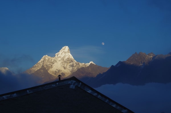
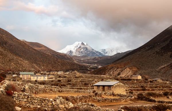
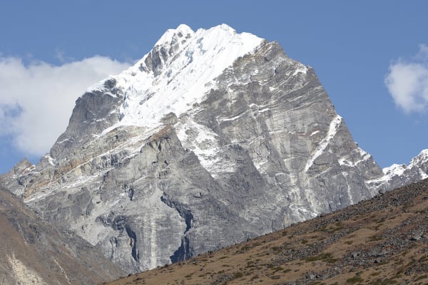
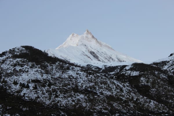
Ama Dablam is the mountain in every photograph of the Khumbu — a granite and ice pyramid above the Tengboche valley that climbers have called the Matterhorn of the Himalaya since the 1960s. It is 6,812 m, it is an NMA Group A peak, and the standard south-west ridge is a sustained technical climb on rock, ice and mixed ground.
It is not a trekking peak with a bigger number. Where Island Peak has one headwall, Ama Dablam has multiple roped pitches, a rock tower, a traverse and a steep ice couloir, with exposure throughout. Most climbers who summit it have done two or three Himalayan trekking peaks and have alpine experience elsewhere.
The Expedition at a Glance
| Summit | 6,812 m |
| Duration | 30 days from Kathmandu on the standard expedition |
| Route | South-west ridge — the standard and by far the most climbed line |
| Technical grade | Alpine D — sustained rock and ice, UIAA IV/V rock moves, 60–70° ice |
| Camps | Base camp 4,600 m, Camp 1 5,700 m, Camp 2 5,900 m, Camp 3 6,300 m |
| Permit | NMA Group A — USD 400 spring, USD 200 autumn, USD 100 winter/summer |
| Best season | Late October to November, and April to May |
| Prerequisite | Prior 6,000 m climbing experience and confident technical rope work |
We run it as a 30-day expedition, a 23-day compressed version for acclimatised climbers, a 28-day version with helicopter return, and a 35-day expedition combining it with Island Peak as acclimatisation.
The Route, Camp by Camp
Base camp (4,600 m)
A meadow below the south-west ridge, reached from Pangboche on the Everest Base Camp trail. Expeditions base here for two to four weeks, with a cook tent, dining tent and individual tents, and run rotations up the route for acclimatisation and load-carrying.
Camp 1 (5,700 m)
Reached by a long day on steep grass, slabs and scree, with scrambling and some fixed rope near the top. Camp 1 is a set of small ledges on the ridge crest — spectacular, exposed, and a fraction of the size of a trekking peak's base camp.
Camp 1 to Camp 2 (5,900 m) — the Yellow Tower
The technical crux of the lower route. The ridge narrows to a rock arête with UIAA IV and V moves, and the Yellow Tower is a near-vertical granite step climbed on fixed rope with a jumar. Camp 2 above it is a famous and genuinely alarming site: two or three tents on a rock pinnacle with drops on both sides.
Camp 2 to Camp 3 (6,300 m) — the Grey Couloir
Mixed ground and then the Grey Couloir, a steep ice runnel at 60 to 70 degrees, ascended on fixed rope. Above it the route crosses onto the Mushroom Ridge and the snow shoulder where Camp 3 sits beneath the final face. This camp has been hit by serac collapse historically and many modern expeditions minimise time there or skip it.
Summit day
From Camp 3, steep snow and ice up the hanging glacier and the final summit slopes to the top at 6,812 m. Eight to twelve hours return, with Everest, Lhotse, Makalu and the whole Khumbu below. Then the long descent, abseiling the Grey Couloir and the Yellow Tower over one or two days.
What It Demands
- Prior 6,000 m experience. We ask for it. Island Peak and Lobuche East, or alpine routes at equivalent grade, are the standard preparation — and Lobuche East in particular is the closest available rehearsal.
- Confident, fast rope work. Jumaring, abseiling and clipping past anchors must be automatic, on steep ground, with gloves, while tired. See our fixed rope guide.
- Comfort with sustained exposure. The ridge between Camp 1 and Camp 2 is continuously exposed, and Camp 2 itself is a pinnacle. This is not something training resolves.
- Rock climbing competence in boots and gloves at around UIAA IV/V on the Yellow Tower.
- Expedition patience. Three to four weeks on the mountain, with rotations, weather days and long waits. More expeditions fail to weather and illness than to the climbing.
- Full expedition kit — double boots, expedition down, a -30 °C bag, and the technical rack. See our gear list and add a second set of technical hardware.
On risk: Ama Dablam has a serious accident history, much of it associated with serac collapse above Camp 3 and with incidents on the descent. It is a harder and more dangerous mountain than its beauty suggests, and a reputable operator will turn a team around rather than push a marginal window.
How Expeditions Are Run
- Route fixing. The south-west ridge is fixed each season by Sherpa teams, usually cooperatively between operators. Your permit contributes to that.
- Rotations. Climbers move up to Camp 1 and Camp 2 and return to base camp, two or three times, to acclimatise and carry loads before a summit push.
- Guide ratio. One-to-one or one-to-two on the technical ground. This is not a mountain for large groups on a single rope.
- Weather windows. A summit push needs two to three settled days. Expeditions typically have two or three chances in a four-week window.
- Oxygen. Not normally used on Ama Dablam, but carried for emergencies.
- Communications. Satellite phone and radio contact between camps and base, and a doctor or trained medic on larger expeditions.
The compressed 23-day version works by arriving pre-acclimatised — typically after another Himalayan trip — and it is only appropriate if you genuinely are. The 35-day version with Island Peak builds that acclimatisation in, and is the better structure for most climbers on their first attempt.
What Comes After
| Objective | Altitude | Step up from Ama Dablam |
|---|---|---|
| Pumori | 7,161 m | Higher, less technical on the standard route, and serious objective danger |
| Baruntse | 7,129 m | A first 7,000 m peak — high-altitude endurance rather than technical difficulty |
| Thamserku | 6,623 m | Comparable technical difficulty, far less climbed |
| Manaslu | 8,163 m | The standard first eight-thousander |
| Everest | 8,848 m | A different scale of commitment entirely |
Ama Dablam is the usual technical benchmark before a first 7,000 m or 8,000 m objective, and many climbers treat it as preparation for Manaslu. It is also a worthwhile summit in its own right, and a significant number of climbers come back for it rather than going higher.