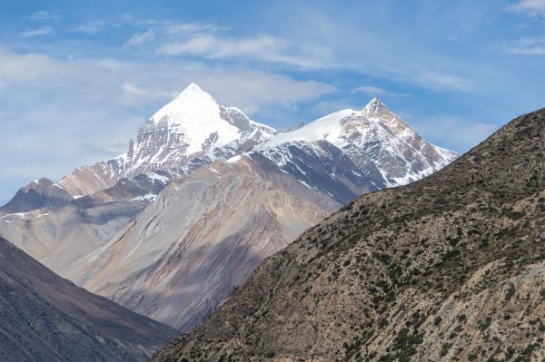
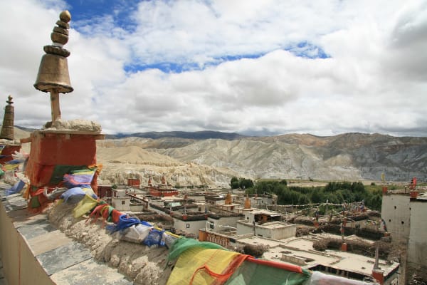
Upper Mustang was the Kingdom of Lo, an independent Tibetan Buddhist state that survived as a semi-autonomous monarchy within Nepal until 2008, and it was closed to outsiders entirely until 1992. It sits north of the Himalayan crest in the upper Kali Gandaki — a high desert of eroded ochre cliffs, walled villages, and barley fields irrigated from snowmelt at 3,500 to 4,000 m.
The walled town of Lo Manthang at 3,840 m is the old capital, with a royal palace, three major monasteries, and a population of a few hundred. The landscape is Tibetan, the culture is Tibetan, and the monsoon never reaches it. It is one of the most extraordinary places you can walk to in Nepal, and the permit costs USD 500.
The Trek at a Glance
| Duration | 16 days from Kathmandu, 12 days from Pokhara |
| Highest point | About 3,860 m, with passes to 4,200 m on variants |
| Difficulty | Moderate — long dry stages, strong wind, no high pass |
| Permit | USD 500 for 10 days, then USD 50 per extra day, plus ACAP |
| Minimum group | Two trekkers with a registered agency and licensed guide |
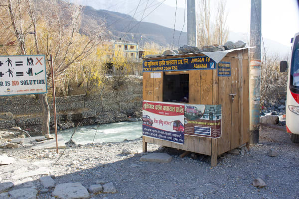
| Access | Flight or road to Jomsom from Pokhara |
| Best seasons | March to November — including the monsoon |
| Accommodation | Teahouse lodges, simple but improving |
We run it as a 16-day trek from Kathmandu and a 12-day version from Pokhara.
The Route
Jomsom to Kagbeni (2,720 m to 2,810 m)
From the airstrip at Jomsom, a short walk or drive up the Kali Gandaki to Kagbeni — a medieval mud-brick village with a red ochre gompa and the restricted-area checkpoint. North of here the permit is required, and the landscape changes within an hour.
Kagbeni to Tsarang (2,810 m to 3,560 m)
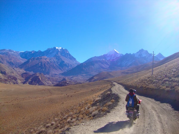
Up the Kali Gandaki through Chele, Syangboche, Ghami and Tsarang, crossing a series of passes between 3,500 m and 3,900 m. The scenery here is the reason people come: eroded cliffs in red, ochre, grey and white, stratified like a cut cake, with whitewashed villages and lines of chortens against them. Ghami has the longest mani wall in Nepal.
Tsarang to Lo Manthang (3,560 m to 3,840 m)
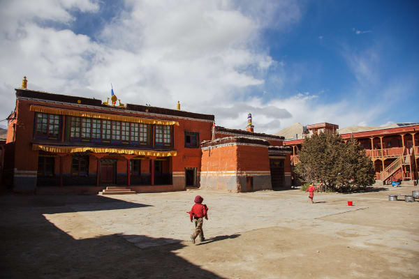
Over the Lo La and down to the walled town of Lo Manthang. The town is a rectangle of contiguous houses behind a wall, with the four-storey royal palace, and three 15th-century monasteries — Jampa Lhakhang, Thubchen, and Chodey — holding murals that are among the most important surviving Tibetan Buddhist art anywhere, restored over the last two decades.
Around Lo Manthang
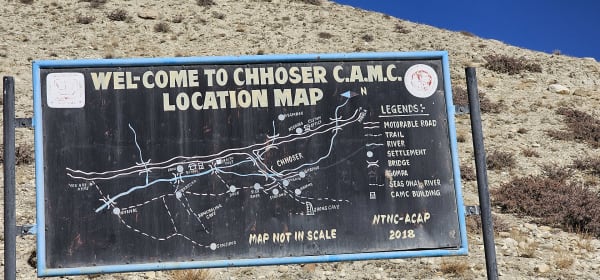
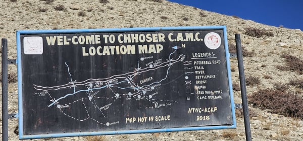
Spend at least two days. Day walks reach Chhoser and the Jhong cave complex — a five-storey warren of rooms cut into a cliff face, thought to be over 2,000 years old — the monastery at Namgyal, and the nunnery at Garphu. These sky caves, thousands of them across Mustang, are one of the great archaeological puzzles of the Himalaya.
Out via the eastern route
Rather than retracing, most itineraries return down the eastern side of the valley through Dhi, Yara and the cave monastery of Luri Gompa, which is built into a cliff and holds a chorten with 14th-century paintings. It is harder walking and much better.
Why July Is a Good Month
Upper Mustang sits in the rain shadow behind Annapurna and Dhaulagiri, so the monsoon barely reaches it. Summer here is the opposite of summer in the rest of Nepal.
- It stays dry. Rainfall in July and August is a fraction of what falls south of the divide.
- The fields are green. Barley and buckwheat are standing, irrigated from snowmelt, which against red cliffs is far more beautiful than the brown of October.
- Nobody is there. Lo Manthang in July has a handful of trekkers; in October it has a stream.
- It is warm. Daytime temperatures in the low twenties, and nights cool rather than freezing.
The catch is the flight to Jomsom, which depends on weather on the southern side of the range and cancels regularly in the monsoon. Build two or three spare days in. Our monsoon trekking guide covers the rain-shadow regions in full.
The other notable season is May, for the Tiji festival at Lo Manthang — three days of masked dances enacting the defeat of a demon, and the most important event in the Mustang calendar. See our Tiji festival guide; dates shift with the Tibetan lunar calendar and lodges book out months ahead.
Permits, Cost, and the Wind
Three practical realities define this trek.
The permit. USD 500 per person for ten days, plus USD 50 for each extra day, plus the ACAP at NPR 3,000. A group of two minimum, a licensed guide, a registered agency, and one full working day in Kathmandu for processing. See our restricted permits guide.
The wind. The Kali Gandaki funnels a ferocious valley wind that builds from late morning every day, carrying dust. Stages are scheduled to finish early. Sunglasses, a buff and lip balm are not optional, and a camera with an exposed sensor will regret it.
The road. A jeep track now runs to Lo Manthang, which has changed the trek. Walking trails avoid it in most places and our itineraries use them, and some stages are deliberately driven. If the presence of a road anywhere on the route is a problem for you, this is worth knowing before you commit USD 500.
Who Should Go
- Trekkers drawn to culture over altitude. Nothing here is above 4,200 m and there is no pass. The reason to come is Lo Manthang, the gompas, the caves, and the landscape.
- Anyone travelling in the monsoon who still wants a Himalayan trek.
- Photographers. The light, the geology and the architecture are unlike anywhere else in Nepal.
- Trekkers who cannot or would rather not go high. This is the most remarkable trek in Nepal that stays below 4,000 m for almost all of it.
Who should think twice: anyone on a tight budget, given the permit; anyone who needs high alpine scenery and glaciers; and anyone who will be annoyed by a jeep track. For Tibetan-Buddhist culture at a fraction of the permit cost, Nar Phu at USD 100 per week is the alternative worth considering.