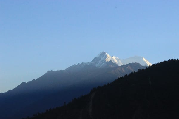
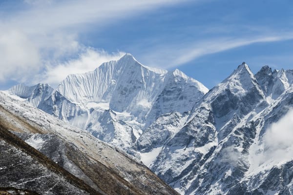
Langtang Lirung (7,227 m) is the highest mountain in the Langtang Himal and one of the hardest 7,000 m peaks in Nepal. It rises 3,300 m directly above Kyanjin Gompa in a single sweep of ice and hanging glacier, and it has an ascent record to match: first climbed in 1978 by a Japanese team, and successful since on only a handful of occasions, with a fatality rate that has kept most commercial operators away entirely.
We offer it to experienced alpinists and we describe it accurately. The route is graded TD- — sustained steep ice, mixed ground, and serac exposure on the lower and middle mountain that is managed by timing rather than avoided.
It is the nearest 7,000 m peak to Kathmandu, seven days from an international arrivals hall, and it is by a wide margin the most serious thing in this catalogue below the 8,000 m peaks.

The Expedition at a Glance
| Summit | 7,227 m |
| Grade | TD- — sustained steep ice, mixed ground, serac exposure |
| Duration | 29 days Kathmandu to Kathmandu — no flight |
| Base camp | 4,300 m, sited clear of avalanche and serac run-out |
| Summit success rate | Low — most attempts do not summit |
| First ascent | 1978, Japanese team |
| Who we take | Experienced alpinists only |
| Price | From USD 21,000 per person |
We run it as a 29-day expedition. Dorje Lakpa is the grade below in the same valley, and the honest recommendation for most climbers considering this.
The Hazard, Stated Plainly
The main hazard is serac fall onto the lower and middle route from the hanging glaciers above. It cannot be avoided entirely on this line, only timed — we cross the exposed ground in the cold hours and never stop in it.
That is the defining fact about this mountain, and it is why:
- Most attempts do not summit, and we will not put a flattering number on it.
- Several attempts have ended in fatalities, which is why almost no commercial operator offers it.
- Base camp is sited clear of avalanche and serac run-out rather than in the most convenient spot.
- We cancel departures readily, and it is written into the booking terms. If conditions on the lower face are wrong, if the party that assembles is not strong enough, or if the season is loading badly, we do not go.
Climbers book this for the objective and the experience rather than for a probable summit. If that framing does not appeal, it is the wrong mountain.
Why We Offer It
Because it is a fine mountain, and because the small number of climbers capable of it deserve an operator who will talk about it honestly rather than pretend it does not exist or quote it like a trekking peak.
There is also a practical argument. Langtang is closer to Kathmandu than any other climbing region and the helicopter operators know the valley well — a rescue can reach base camp within an hour in clear weather. Above Camp 1 that changes, as it does on any mountain, but the baseline is better here than almost anywhere else at this grade.
The Route
Kathmandu to Kyanjin Gompa (1,400 m to 3,870 m)
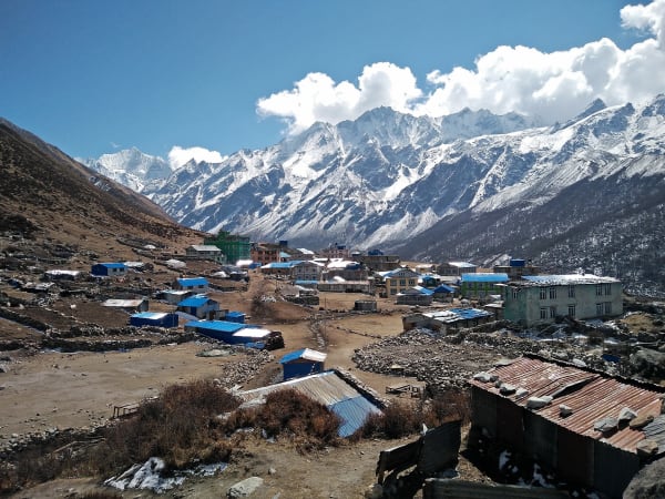
Briefing, permits, a Ministry briefing and cargo dispatch, then the drive to Syabrubesi and three days up the valley. An acclimatisation day at Kyanjin climbing Tserko Ri (4,984 m) — during which you will spend a good deal of time looking at your own route through binoculars, because the whole face is visible from the lodges.
Base camp and rotation (4,300 m to 5,200 m)
Base camp at 4,300 m above Kyanjin, then a puja, a technical assessment day, an acclimatisation day, and a full rotation to Camp 1 at 5,200 m and back. Two rest and preparation days before the push.
The summit push
Progressive rope fixing by the Sherpa team ahead of the climbers, camps carried in stages, and a summit push that moves through the serac-exposed ground in the cold hours. Reserve days are built in and are used.

What It Costs
| Group size | Price per person |
|---|---|
| 1 climber | USD 25,620 |
| 2 to 4 | USD 23,730 |
| 5 to 7 | USD 22,470 |
| 8 to 10 | USD 21,840 |
| 11 to 14 | USD 21,310 |
| 15 and over | USD 21,000 |
What Is Included
- Airport transfers, an expedition briefing, permits, a Ministry briefing and cargo dispatch in Kathmandu.
- Private transport Kathmandu to Syabrubesi and back — no flight.
- Hotel accommodation in Kathmandu with breakfast, and teahouses in the Langtang valley.
- Full expedition base camp at 4,300 m, sited clear of run-out, plus the camps above it, with mess, kitchen, storage and toilet tents.
- A cook and kitchen crew, and all meals throughout.
- Expedition climbing permit, Langtang National Park entry and liaison arrangements.
- An expedition leader, climbing Sherpas and high-altitude staff, with equipment, wages and insurance.
- Progressive rope fixing of the ice and mixed ground.
- A puja, a technical assessment day, an acclimatisation rotation to Camp 1 and reserve days.
- Emergency oxygen with masks and regulators, garbage deposit, summit certificate and all taxes.
What Is Not Included
- International flights and the Nepal entry visa fee.
- Expedition insurance valid to 7,300 m with helicopter evacuation and repatriation.
- Personal climbing equipment and high-altitude clothing, including double boots and a bag rated to -30 °C.
- Personal porter services.
- Meals in Kathmandu beyond breakfast.
- Snacks, bottled water, hot showers, Wi-Fi, charging and drinks.
- Laundry, phone calls, souvenirs and personal expenses.
- Summit bonus and tips for the climbing Sherpas and high-altitude staff.
- Extra costs arising from a cancelled departure, weather, or an early descent.