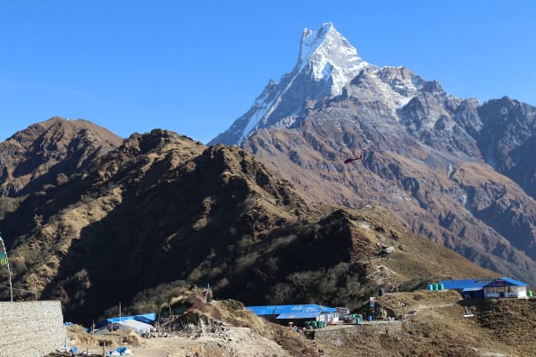
Almost every trek in the Annapurna region now starts with a jeep. The Lamjung Himal trek does not: it begins at Baglungpani and walks through the old Gurung villages of Ghanpokhara and Kharka into forest and alpine pasture, gaining height steadily over four days to a valley camp at 3,717 m beneath Lamjung Himal (6,983 m).
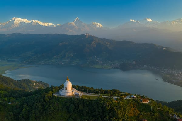
The high point is the day walk to the Rambrong West Summit (4,384 m), a viewpoint that takes in Manaslu, Annapurna II and IV, Lamjung Himal and Machhapuchhre in a single sweep. It is one of the least-walked routes in the region, and the middle section uses high camps rather than lodges — which is exactly why it has stayed that way.

The Trek at a Glance
| Duration | 13 days Kathmandu to Kathmandu, 8 of them walking |
| Highest point | Rambrong West Summit, 4,384 m |
| Highest night | Valley Camp, 3,717 m |
| Difficulty | Moderate — sustained ascent, no technical ground |
| Best seasons | March to May, October to November |
| Accommodation | Teahouses low down, high camps through the middle |
| Access | Road to Baglungpani, out by road from Tangting |
| Permits | Annapurna Conservation Area Permit and trekking registration |
| Price | From USD 850 per person |
We run it as a 13-day trek from Kathmandu. It sits in the same quiet corner of the Annapurnas as the Khori Himal trek to Kori Danda, and the two together make an excellent fortnight away from the main trails.
The Route
Baglungpani to Kharka (1,650 m to 2,850 m)
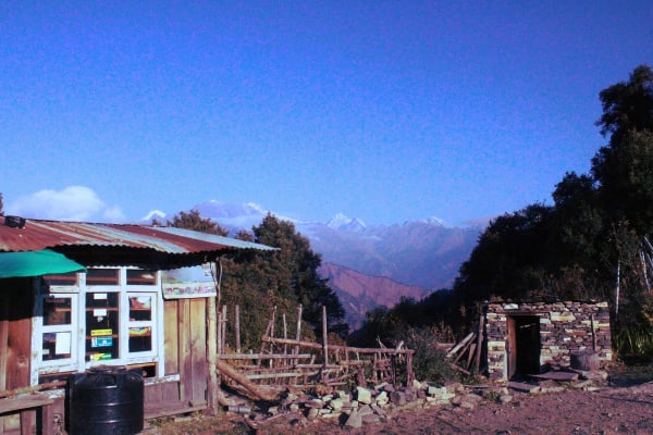
A drive from Kathmandu to Baglungpani, and then you walk. Day one climbs to Ghanpokhara (2,158 m), an old Gurung village on a ridge with the Annapurnas opening up behind it; day two continues to Kharka at 2,850 m through farmland giving way to oak and rhododendron. The fact that the route is walked rather than driven from the start is the whole character of the trip — you gain height at a human pace and the acclimatisation takes care of itself.
Kharka to Valley Camp (2,850 m to 3,717 m)
Through Dharamasala (3,476 m) and into high pasture. The forest thins to juniper and dwarf rhododendron and then gives out onto open grazing ground. Valley Camp at 3,717 m sits beneath the Rambrong ridge with Lamjung Himal directly above — tents, a cook crew, and nobody else.
The Rambrong West Summit day (4,384 m)
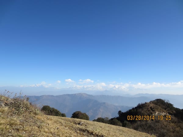
An out-and-back day from Valley Camp, climbing roughly 670 m to the Rambrong West Summit at 4,384 m. It is a walk rather than a climb, but a steep and sustained one on grass, scree and rock. The reward is the panorama: Manaslu (8,163 m) east, Annapurna II and IV north, Lamjung Himal directly above, and Machhapuchhre west. Start early — cloud builds from late morning.

Down through Tapro Kharka to Tangting (3,410 m to 1,680 m)
A different descent rather than a retrace: Tapro Kharka, then Karpu Kharka, then a long drop through forest to the Gurung village of Tangting at 1,680 m, and a jeep out to Pokhara. The descent to Tangting loses 1,300 m and is the hardest day on the knees.
Difficulty and Who It Suits
Graded moderate. There is no pass, no glacier and no technical ground, but the days are sustained and the middle of the route has no lodges, no shops and no easy exit.
- Five to seven hours a day, with a steady daily ascent rather than any single enormous day.
- The Rambrong summit day is the crux — about 670 m up and back down, steep and at altitude.
- Maximum 4,384 m, reached after five days of gradual gain, so acclimatisation is comfortable.
- High camps through the middle section, which means cold nights and no facilities.
- A 1,300 m descent to Tangting on the final walking day.
Because you walk in from the road rather than driving to altitude, this route acclimatises better than most short Annapurna trips. Our training guide covers the sustained-ascent fitness it asks for.
Best Time to Go
| Season | Conditions |
|---|---|
| March to May | Rhododendron through the forest belt below Kharka, and comfortable nights at the high camps. |
| October to November | The clearest views from Rambrong West. Colder at Valley Camp, and November nights are genuinely cold under canvas. |
| December to February | Not recommended. Snow on the Rambrong ridge and severe nights at the high camps. |
| June to September | Monsoon — cloud on the summit day, leeches in the forest, and nothing to see. |
What It Costs
At USD 850 this is one of the better-value camping treks in the Annapurna region — there is no flight, the road transfers are short at both ends, and only the middle section needs a full camp crew.
| Group size | Price per person |
|---|---|
| 1 trekker | USD 975 |
| 2 to 4 | USD 950 |
| 5 to 7 | USD 925 |
| 8 to 10 | USD 900 |
| 11 to 14 | USD 875 |
| 15 and over | USD 850 |
There is very little to spend on once you leave the road. Carry rupees from Kathmandu or Pokhara — there are no ATMs at Baglungpani or anywhere on the route.
What Is Included
- Airport pickup and drop-off in Kathmandu.
- Private transport Kathmandu to Baglungpani, private transport Tangting to Pokhara, and tourist bus Pokhara to Kathmandu.
- Hotel accommodation in Kathmandu and Pokhara with breakfast.
- Teahouse accommodation on the lower trail and tented accommodation with a full camp and kitchen crew for the high-camp sections.
- Three meals a day during the trek.
- Annapurna Conservation Area Permit and trekking registration.
- A licensed English-speaking trekking guide.
- Group trekking map, first aid kit carried by the guide, and all government taxes, permit fees and service charges.
What Is Not Included
- International flights and the Nepal entry visa fee.
- Travel insurance including emergency helicopter evacuation.
- Personal trekking equipment and clothing, including a bag rated to -10 °C or lower for the high camps.
- Porter services, available at additional cost.
- Lunch and dinner in Kathmandu and Pokhara.
- Snacks, bottled water, hot showers, Wi-Fi, charging and drinks.
- Laundry, phone calls, souvenirs and personal expenses.
- Tips for guides, drivers and support staff.
- Extra costs caused by weather or anything else outside the itinerary.
Both hotels store luggage you do not need on the trail free of charge. See the packing list for what to take, and add a warm bag and a power bank — there is no charging above Ghanpokhara.