Churen Himal is a 7,371 m peak that has been climbed only a handful of times, and its base camp sits three vertical kilometres below the summit on empty moraine. Getting there means sixteen days, twelve of them under canvas, across the Jaljala Pass (3,414 m) and through the Dhorpatan Hunting Reserve — the only reserve of its kind in Nepal.
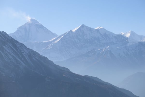
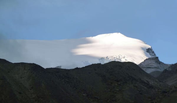
What makes the trip worth the effort is the view from the camp: Churen Himal (7,371 m) straight above you, Gurja Himal (7,193 m) to the east and Putha Hiunchuli (7,246 m) to the north. Three seven-thousanders from one tent door, and in most seasons nobody else there to share them with.

The Trek at a Glance
| Duration | 16 days Kathmandu to Kathmandu |
| Highest point | Churen Himal Base Camp, 4,500 m |
| Difficulty | Challenging — fully camped, no glacier travel |
| Best seasons | April to May, October to November |
| Accommodation | Hotels in Kathmandu and Pokhara, tents on the trek |
| Access | Road to Darbang via Pokhara and Beni, return the same way |
| Permits | Dhorpatan Hunting Reserve entry permit and trekking registration |
| Price | From USD 2,150 per person |
We run this as a 16-day camping trek. It shares its first three walking days with the Dhaulagiri Circuit before turning west at Lumsum, so the two make a natural pair of choices at either end of the same massif.
The Route
Darbang to Lumsum (1,110 m to 2,240 m)
Road from Kathmandu via Pokhara and Beni to the roadhead at Darbang, then two days up the Myagdi Khola through Dharapani and Muri — Magar villages, suspension bridges and terraced hillsides, with more ascent and descent than the net gain suggests. At Lumsum the route leaves the Myagdi and turns south-west on an old trading route between the two valleys.
Over the Jaljala Pass into Dhorpatan (3,414 m to 2,900 m)
A long, steady climb through rhododendron and then fir forest, breaking out above the treeline onto open grass. The Jaljala Pass (3,414 m) is a broad grassy saddle rather than a rocky col, and the descent beyond it opens into country that looks more Tibetan than Himalayan: a flat-bottomed valley, pine on the slopes, and stock grazing on the floor. Dhorpatan itself is the reserve settlement.
Dhorpatan to Churen Himal Base Camp (2,900 m to 4,500 m)
North out of the grasslands along the Uttar Ganga through pine and birch, on a herders' route that is rough in places, to Gurjaghat (3,200 m). Then the big day: 1,300 m of climbing, leaving the trees at around 3,700 m and continuing through alpine scrub onto open moraine. There is no path in the ordinary sense for the last section — your guide picks the line.
A full exploration day at the base camp is what the eight days of walking were for. The morning walk climbs the moraine ridge west of camp to around 4,800 m for the fuller view along the western Dhaulagiri wall and down the glacier system feeding the valley.

The return
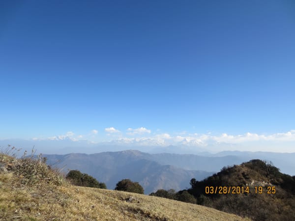
Back down the valley to Gurjaghat and Dhorpatan, east over the Jaljala Pass again — gentler from this direction, on open grass most of the way — and down through Muri to the roadhead at Darbang. The view from the top of the pass on the way out is the last of the big mountains: Dhaulagiri, Churen and Gurja together.
Difficulty and Who It Suits
Graded challenging. There is no glacier travel, no technical ground and no pass above 3,500 m, which makes it materially easier than the Dhaulagiri Circuit — but it is a long way from help, and that is the real grade.
- Twelve walking days, most of them five to seven hours, with one 1,300 m climb to the base camp and the same in descent.
- Twelve nights camping with no lodges, shops or resupply anywhere on the route.
- Maximum 4,500 m at base camp, reached gradually, so altitude is manageable — but nights there drop to -10 °C and lower in November.
- No road access and no evacuation point between Darbang and the base camp. Helicopter evacuation is possible but weather-dependent.
If you want the remoteness without the glacier nights and the two 5,000 m passes of the Dhaulagiri Circuit, this is the trek that gets you there. Read our guide to Nepal's quieter trails for how it compares with the other genuinely empty routes.
The Dhorpatan Hunting Reserve and Its Wildlife
Dhorpatan was established in 1987 and is the only hunting reserve in Nepal. A limited number of licensed permits are issued each year for blue sheep and Himalayan tahr. For trekkers it functions as a protected area of grassland, pine forest and high pasture — and because so few people walk through it, the wildlife is unusually visible.
- Blue sheep are common in the reserve and on the slopes below the base camp.
- Himalayan tahr, musk deer and Himalayan black bear are all present.
- Snow leopard live in the upper valleys, though sightings are rare.
- Pheasants and raptors through the forest belt are exceptional, particularly in spring.
Carry binoculars. The open grassland approach means you can glass slopes from a long way off, which is not true on most Nepali trekking routes.
What It Costs
As with any fully camped route, the price reflects the crew rather than the accommodation. A licensed guide, an assistant guide, a cook and kitchen crew, and porters for tents, food and group equipment travel with you for twelve days, and everything they carry comes in from the roadhead.
| Group size | Price per person |
|---|---|
| 1 trekker | USD 2,275 |
| 2 to 4 | USD 2,250 |
| 5 to 7 | USD 2,225 |
| 8 to 10 | USD 2,200 |
| 11 to 14 | USD 2,175 |
| 15 and over | USD 2,150 |
On-trail spending is close to zero — there are no lodges, shops or charging fees between Darbang and the base camp. Budget instead for personal kit, insurance with helicopter cover, and tips for a crew that is larger than the trekking group.
What Is Included
- Airport pickup and drop-off in Kathmandu.
- Private transport Kathmandu–Pokhara–Kathmandu, and private jeep Pokhara–Darbang and back.
- Hotel accommodation in Kathmandu and Pokhara with breakfast.
- Two-person tents, mess tent, toilet tent and all group camping equipment, plus teahouse nights where available on the lower trail.
- A cook and kitchen crew for the full camping section.
- Three meals a day throughout the trek.
- Dhorpatan Hunting Reserve entry permit and trekking registration.
- A licensed English-speaking guide and an assistant guide.
- Group trekking map, first aid kit carried by the guide, and all government taxes, permit fees and service charges.
What Is Not Included
- International flights and the Nepal entry visa fee.
- Travel insurance including emergency helicopter evacuation, which is essential on a route this far from a road.
- Personal trekking equipment and clothing, including a bag rated to -15 °C and an insulated mat.
- Porter services for your personal duffel, available at additional cost.
- Lunch and dinner in Kathmandu and Pokhara.
- Snacks, bottled water, hot showers, Wi-Fi, charging and drinks.
- Laundry, phone calls, souvenirs and personal expenses.
- Tips for guides, drivers and support staff.
- Extra accommodation or transport caused by weather or anything else outside the itinerary.
Mobile coverage is patchy at Darbang and Dhorpatan and absent in between, so expect to be out of contact for most of the trek. Tell people at home before you leave the road.
Extending the Route
Dhorpatan is a junction as much as a destination, and two extensions are worth considering at the booking stage rather than on the trail.
- West into Rukum, following the Guerrilla Trek route through the old Maoist heartland — roughly a week extra.
- North-east towards Putha Hiunchuli base camp and the western end of the Dhaulagiri massif, also around a week, and a natural pairing if the Putha Hiunchuli expedition is a longer-term goal.
Both need extra permits, food and crew planned in advance, so tell us before you book rather than after you arrive.